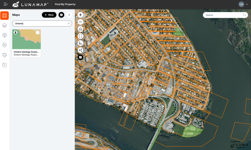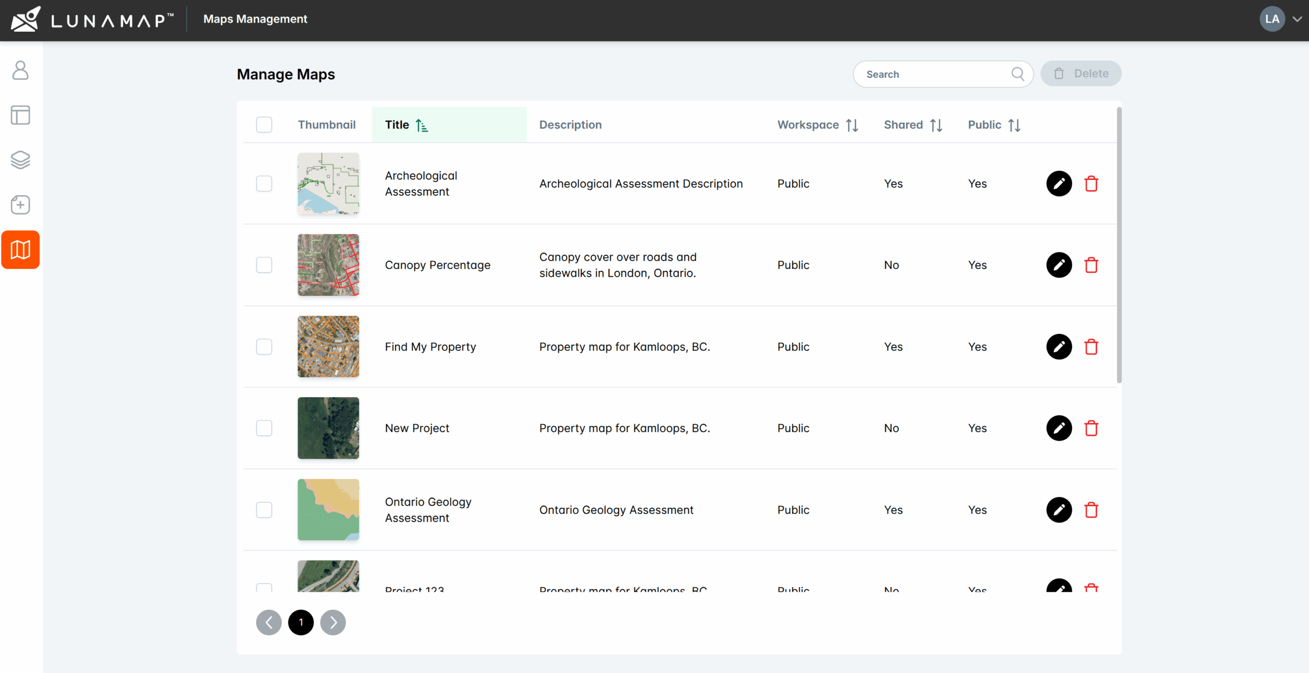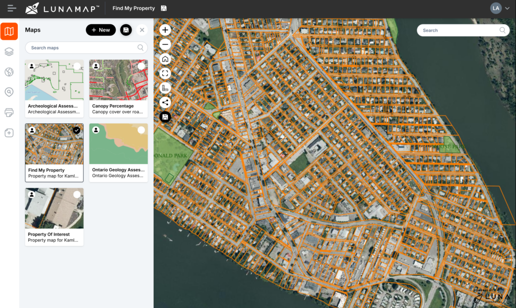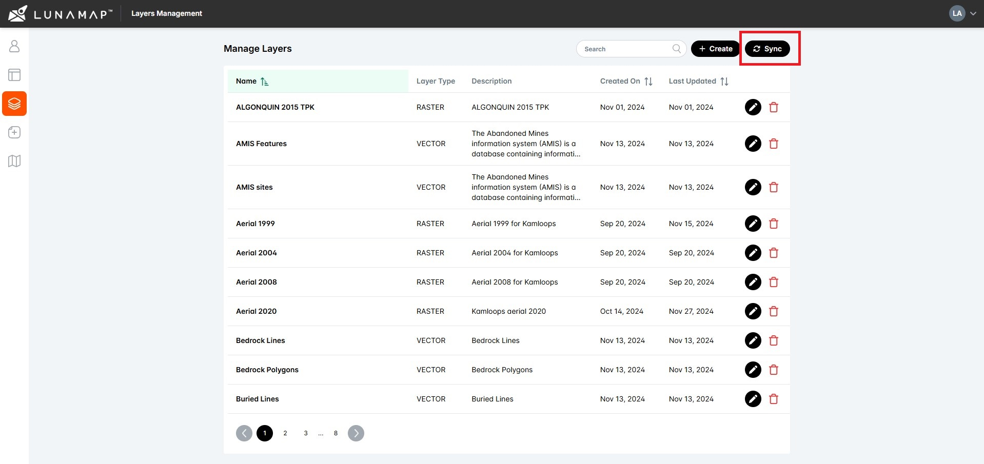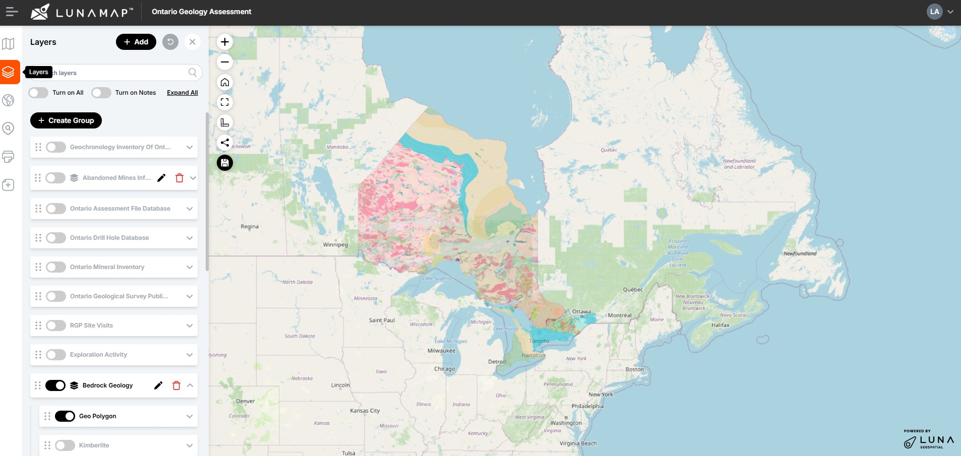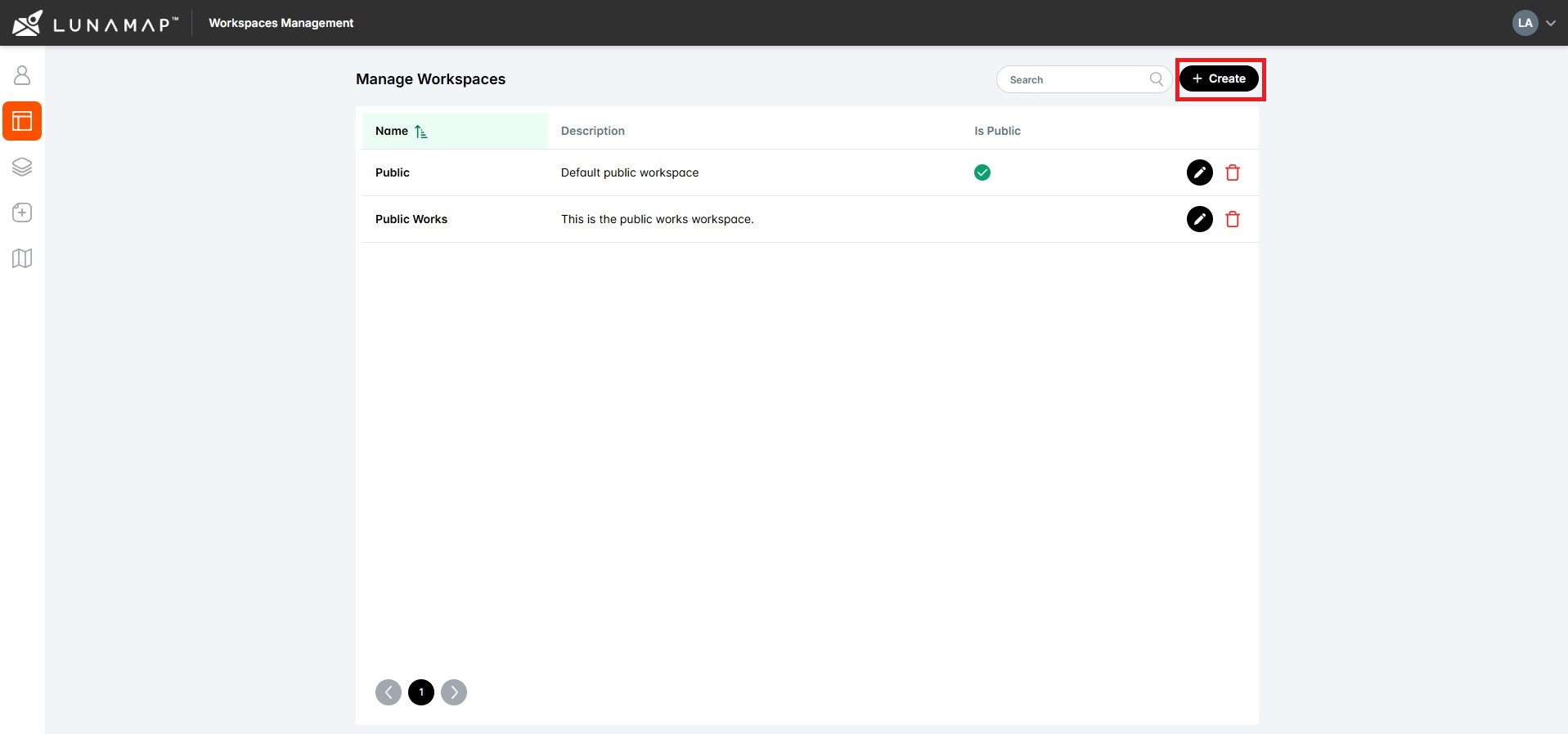
Create a LunaMap Workspace
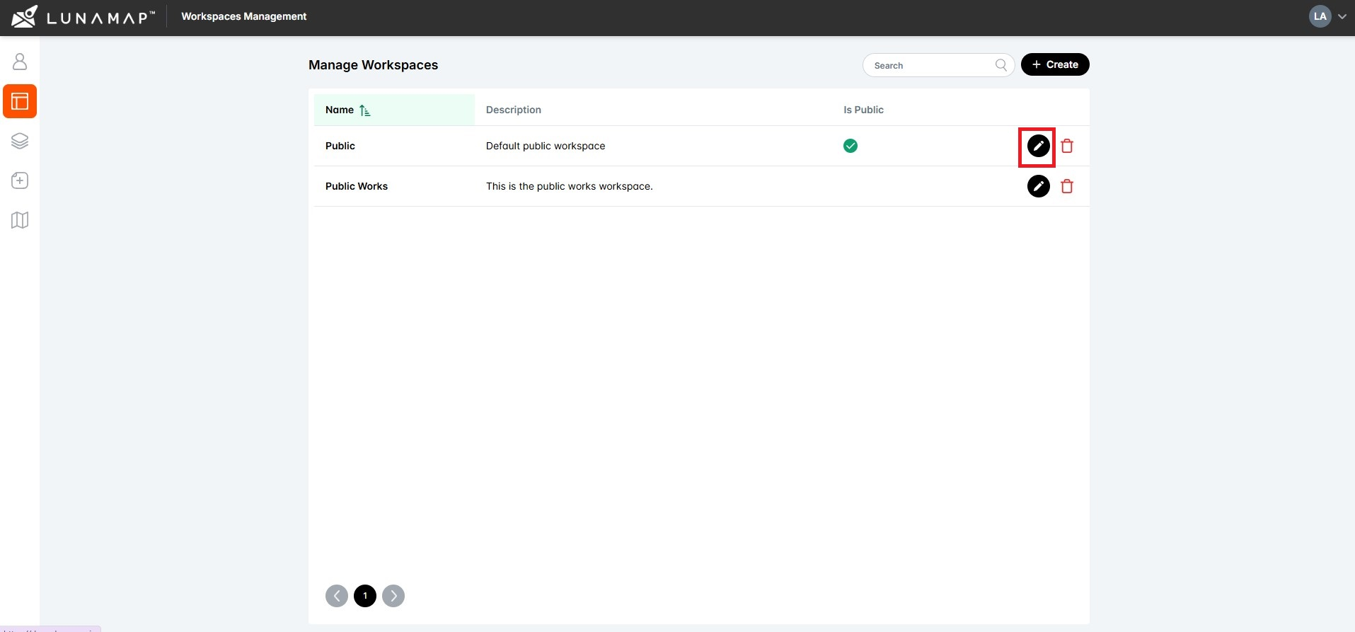
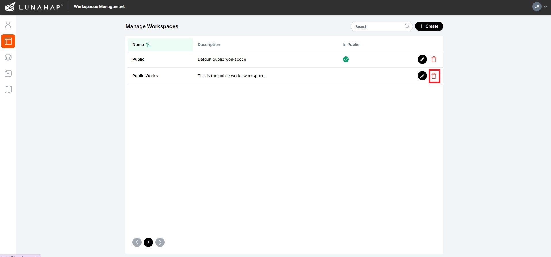
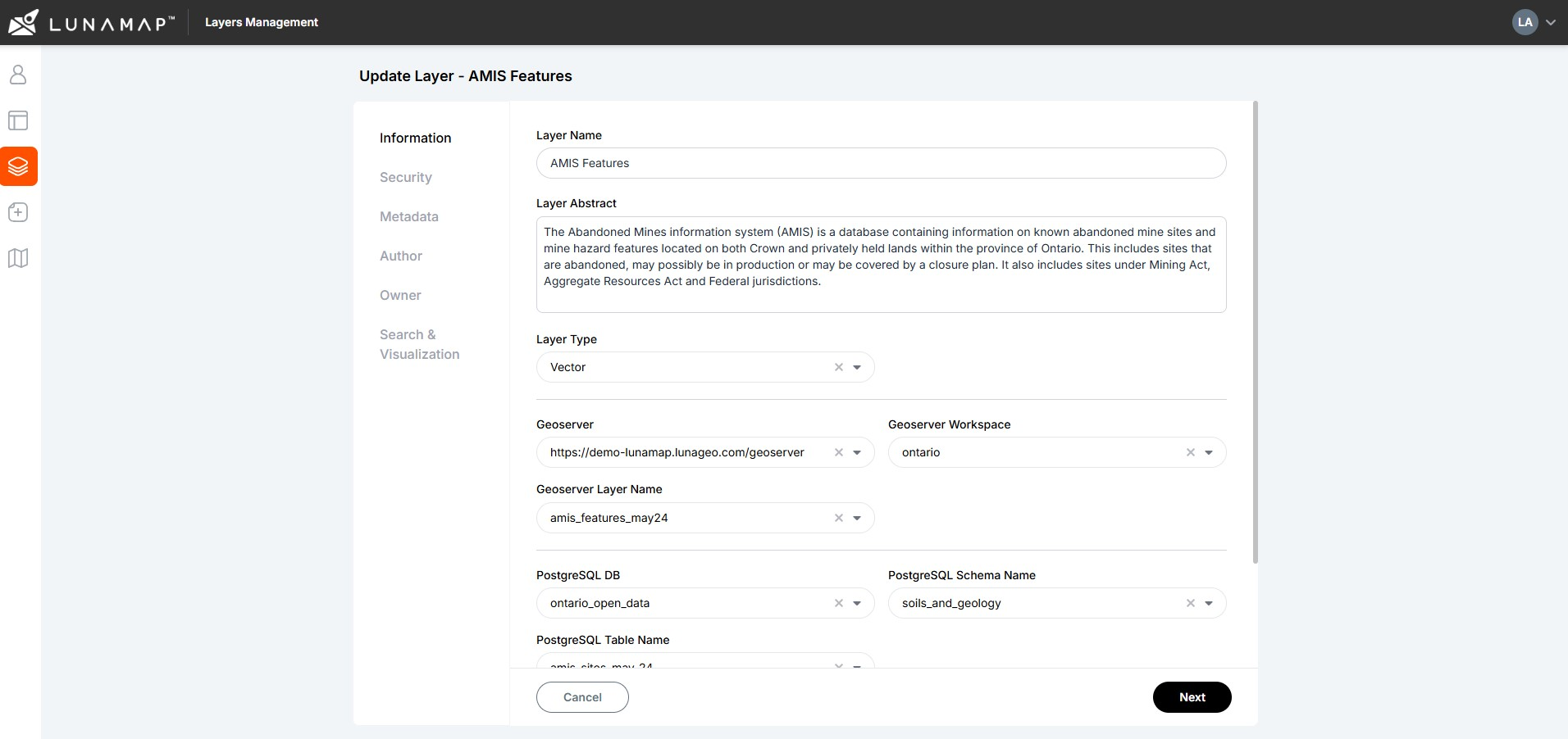
This tutorial explains how to create a LunaMap Workspace. Workspaces are the top level of organization within LunaMap such that layers are published to one or more workspaces, maps are created within workspaces, and users are assigned to workspaces. Workspaces can also be private and require authentication or public and available to anyone on the Internet.
LunaMap
Read Tutorial