
Open Source GIS for Local Government: 6 practical examples
Learn six practical examples demonstrating how local governments can use QGIS, PostGIS, GeoServer, and open source GIS for day-to-day municipal workflows.
Watch WebinarLunaGeo helps municipalities build practical GIS platforms using open source technology. From QGIS and PostGIS to managed hosting and public web maps, we help local governments organize spatial data, support planning and staff workflows, and share maps without the cost and complexity of proprietary GIS platforms.
Many small municipalities need GIS, but do not have dedicated GIS staff. Data may be scattered across shapefiles, spreadsheets, PDFs, old web maps, consultant files, and individual staff computers.
This can make it difficult to answer basic questions:
LunaGeo helps municipalities turn scattered GIS data into a managed GIS platform that staff can actually use.
LunaGeo helps municipalities organize, manage, and share their mapping data without needing a full in-house GIS department.
We can help with:
Practical GIS help for municipal staff.
Bring parcels, roads, zoning, land use, addresses, assets, infrastructure, planning policies, and development layers into one organized GIS platform staff can rely on.
Sort out shapefiles, spreadsheets, consultant deliverables, and outdated map projects so your data is easier to maintain.
Set up simple desktop mapping tools and shared projects so planning, public works, administration, and consultants can work from the same information.
Build internal web maps for day-to-day use, including parcel lookup, asset review, zoning checks, and infrastructure reference.
Create public-facing maps for residents and council so zoning, facilities, trails, and other municipal information is easier to access.
Receive hosting, maintenance, staff training, and on-call GIS help without needing a full in-house GIS department.
Map development applications, growth areas, constraints, facilities, transportation networks, and demographic data for planning reports and policy work.
Provide QGIS training for practical municipal workflows, including map creation, spatial analysis, data joins, field editing, and web map preparation.
Define clear ownership, update routines, access controls, and documentation so municipal GIS data stays accurate and dependable over time.
LunaGeo supports QGIS, PostGIS, GeoServer, LunaMap, and managed LunaCORE environments so municipalities can keep their spatial data in open, standards-based systems.
We can support an existing GIS environment or provide a fully managed platform for staff maps, public maps, planning data, and long-term spatial data storage.
Need help turning municipal GIS needs into a practical plan?
Talk with LunaGeoExplore LunaGeo webinars and workshops related to local government GIS.
Learn six practical examples demonstrating how local governments can use QGIS, PostGIS, GeoServer, and open source GIS for day-to-day municipal workflows.
Watch Webinar
See how a complete open source GIS stack supports field data collection, desktop analysis, cartography, web mapping, and long-term spatial data storage.
Watch Webinar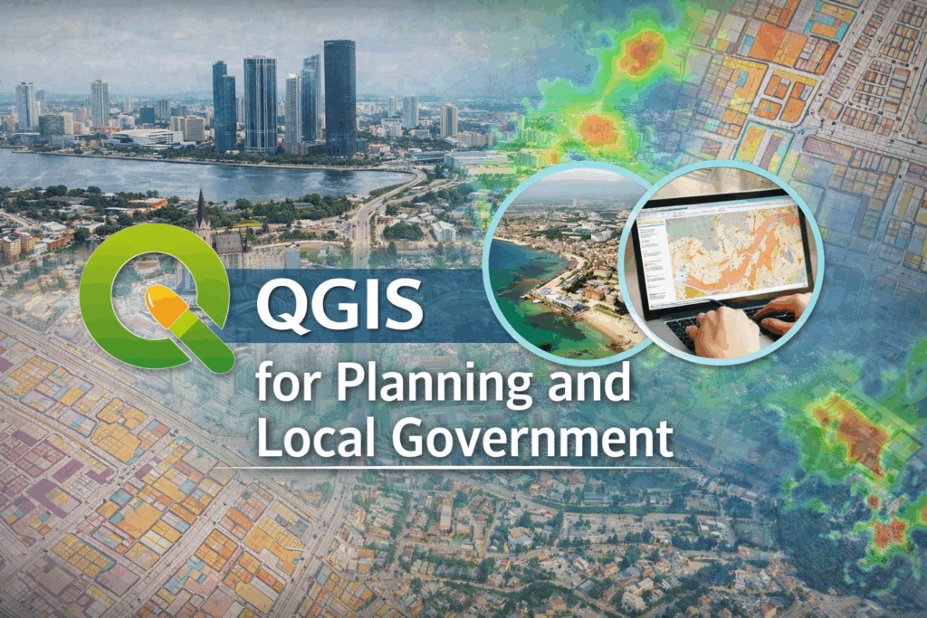
A hands-on, tutorial-based workshop designed to help municipal and regional staff use QGIS for planning and local government mapping workflows.
View WorkshopTell us a little about your organization, your GIS data, and the kind of support you need. We will follow up to discuss practical next steps.