
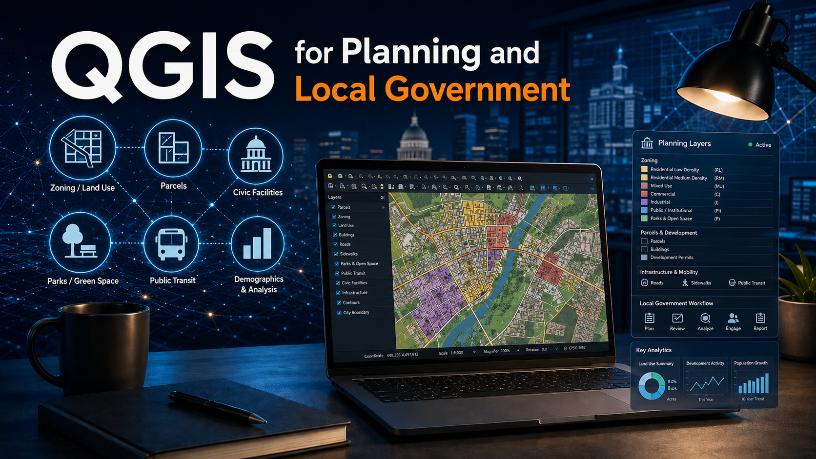
QGIS for Planning and Local Government is a hands-on, tutorial-based workshop designed to help municipal and regional staff harness the full potential of QGIS, a free and open-source desktop GIS application used by local governments around the world.
Through a combination of guided instruction and practical exercises, participants will learn how to perform common spatial analysis tasks, create and manage data, and produce high-quality maps and reports tailored to municipal needs.
This workshop emphasizes real-world applications - such as mapping demographics, analyzing urban walkability, identifying suitable sites for development, and assessing environmental hazards - to demonstrate how QGIS can support data-driven decision-making across planning, engineering, public works, and environmental departments.
By the end of the course, participants will:
- Understand the main tools and features of QGIS.
- Gain hands-on experience solving real-world spatial problems.
- Build the confidence to independently use QGIS for mapping and spatial analysis tasks in their own organizations.
Workshop Format
The course is delivered through eight instructor-led modules, each combining short lectures, demonstrations, and step-by-step tutorials. The instructor introduces each topic, explains relevant GIS concepts, and then guides participants through applied exercises using municipal datasets.
- Module 1: QGIS Application Overview
- Module 2: Mapping Urban Demographics
- Module 3: Map Production and Reporting
- Module 4: Create and Edit Spatial and Attribute Data
- Module 5: Multi-criteria Site Suitability Analysis
- Module 6: Hazard Mapping
- Module 7: Walkability Analysis
- Module 8: Green Space and Tree Canopy Analysis
Upcoming Public Sessions
- QGIS for Planning and Local Government: Ontario Edition on October 29th, 2026, from 10am to 5pm (Eastern Time). Cost: $250 CAD per participant. Register for this Session.
- The Saskatchewan Professional Planners Institute (SPPI) is hosting a virtual session on November 4th and 5th, 2026. Register for the SPPI session.
- QGIS for Planning and Local Government: Atlantic Edition on Friday, November 27th, 2026, from 9:00 AM to 4:00 PM Atlantic (AST). Cost: $250 CAD per participant. Register for this Session.
- QGIS for Planning and Local Government: Western Canada Edition on Friday, December 11th, 2026, from 9 AM to 4 PM Pacific / 10 AM to 5 PM Alberta. Cost: $250 CAD per participant. Register for this Session.