
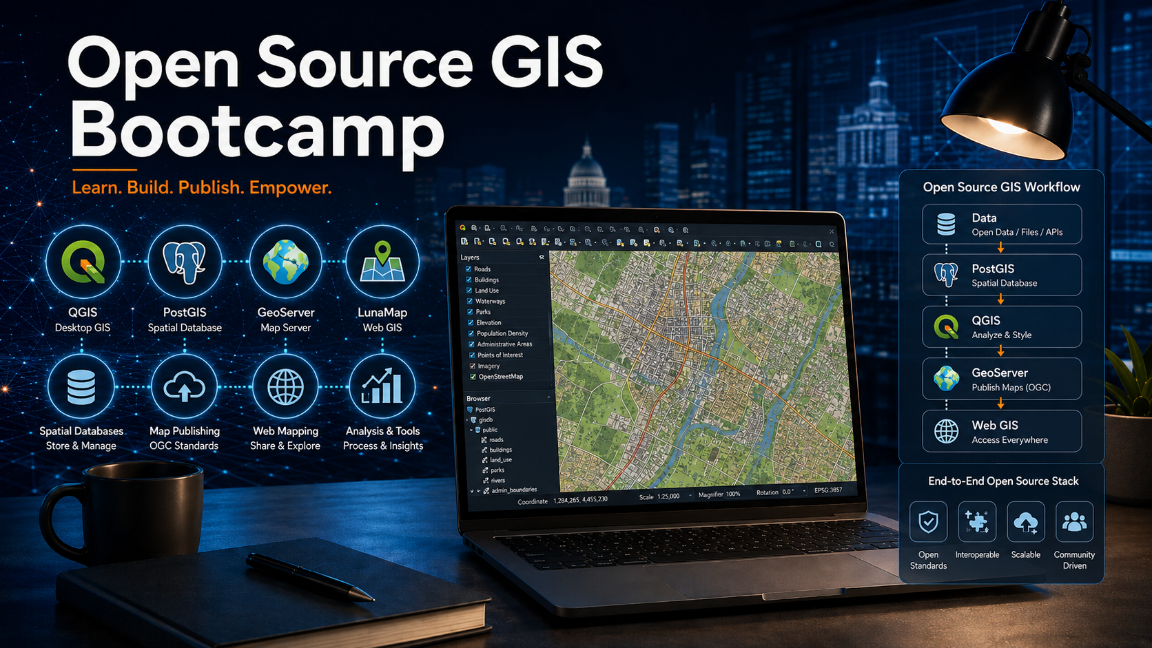
Unlock the power of open source GIS in this hands-on, two-day bootcamp designed for professionals and organizations ready to build their own enterprise-grade geospatial platform. On Day 1, you’ll learn how to design, build, and manage a spatial database using QGIS, PostgreSQL, and PostGIS, with guided tutorials on data upload, editing, permissions, and spatial SQL. On Day 2, you’ll take your GIS to the web by publishing your layers using GeoServer and configuring a full-featured map portal with LunaMap Enterprise. By the end of the bootcamp, you’ll have a complete working GIS database and a custom map viewer ready to deploy. This bootcamp is perfect for municipalities, consultants, and GIS professionals ready to embrace open source GIS.
Upcoming Sessions
- October 22-23, 2026 – 10am to 3pm EST – Virtual (Google Meet) Registration closes on October 19th, 2026.
Prerequisites
No previous experience with open source GIS is required, but introductory experience with GIS is advised. The bootcamp will NOT cover basic concepts in GIS (e.g. coordinate reference systems, projections, raster vs vector data, etc.) as it will be expected that attendees understand these foundational concepts. Experience using QGIS would be beneficial, but not required.
Included in the Bootcamp
- Ten hours of intensive, instructor-guided lessons and tutorials over two days.
- 15-day access to a LunaCORE GIS server that includes PostgreSQL, PostGIS, Geoserver, and LunaMap Enterprise Edition.
- All course materials, including tutorials and sample data.
- Access to support during the event.
What You Need
- A computer with a solid internet connection.
- Install QGIS 3.44 LTR (download the latest LTR version here).
- Install pgAdmin4 (download here).
Cost
Public sessions
$300 CAD per participant
$250 CAD for existing LunaCORE clients
Private group training
$4,000 CAD per group session
For up to 20 participants. Use the registration form below to request a dedicated session.
Course Structure
Day 1 – QGIS & PostGIS: Building the Spatial Database
- Arrival and Setup
- Welcome & Overview
- Module 1: Getting Started with QGIS and pgAdmin4
- Module 2: Build an Enterprise Database Structure
- Module 3: Upload Data
- Module 4: Manage QGIS Symbology and Projects in PostGIS
- Module 5: Edit PostGIS Layers in QGIS
- Module 6: Data Analysis with QGIS and Spatial SQL
Day 2 – GeoServer & LunaMap: Publishing Maps to the Web
- Module 7: Create tables and custom QGIS forms
- Module 8: Database Permissions
- Module 9: PostgreSQL Trigger Functions
- Module 10: Publish PostGIS Layers with Geoserver
- Module 11: Publish Raster Layers with Geoserver
- Module 12: Build a Map Portal with LunaMap
- Project Wrap-Up & What Next?