
Workshop Description
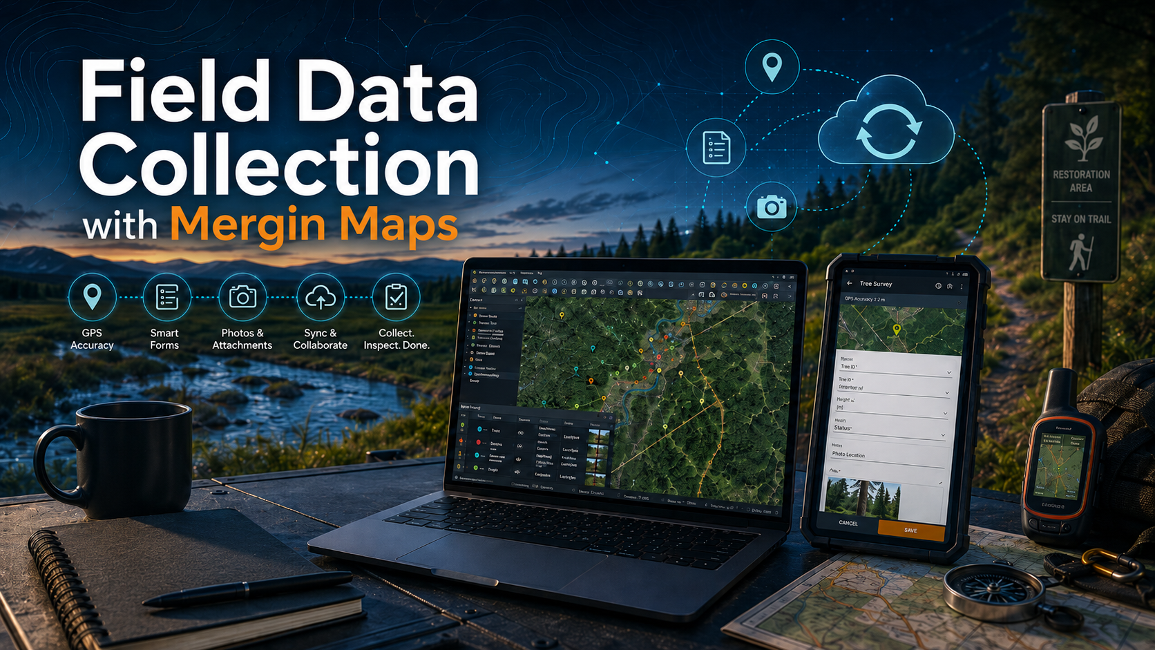
Field Data Collection with Mergin Maps is a practical workshop for GIS professionals who want to build reliable mobile data collection workflows using QGIS and Mergin Maps.
Participants will learn how to plan a field data collection project, configure a QGIS project for mobile use, prepare forms and layers, collect data in the field, synchronize updates, and review collected data back in QGIS.
The workshop will focus on practical setup and workflow decisions. The goal is to help participants understand how to move from a desktop GIS project to a usable mobile field data collection process.
Upcoming Session
This course is coming in Fall 2026.
The exact date, price, and registration details will be announced soon. Join the priority list below to be notified when registration opens.
Prerequisites
Participants should be familiar with basic QGIS workflows before taking this workshop.
Experience creating or editing QGIS forms will be helpful.
Previous experience with MerginMaps is not required.
Included in the Workshop
This is an instructor-led workshop that will include:
- Live instruction from LunaGeo
- Step-by-step workshop materials
- Time for questions and troubleshooting
What You Need
Participants will need a computer and a mobile device capable of running the required software.
- Computer with QGIS installed
- Mobile device such as a phone or tablet (Android or iOS)
- Mergin Maps QGIS plugin
- Mergin Maps mobile app
- Mergin Maps account
- Internet connection for setup and synchronization
Detailed setup instructions will be provided before the workshop. A LunaGeo team member can help configure your system prior to the workshop.
Course Structure
- Module 1: Field Data Collection Concepts
Planning a field data collection workflow and deciding what needs to be collected, edited, reviewed, and synchronized. - Module 2: Preparing a QGIS Project
Organizing layers, symbology, basemaps, project settings, and field collection requirements in QGIS. - Module 3: Designing Field Forms
Configuring attributes, widgets, defaults, required fields, value lists, and form layouts for mobile data entry. - Module 4: Preparing Data Collection Layers
Setting up point, line, or polygon layers for field use and deciding how collected data should be structured. - Module 5: Publishing to Mergin Maps
Preparing the project for use with Mergin Maps and confirming that the mobile project is ready for field collection. - Module 6: Collecting Data in the Field
Using a mobile device to collect, edit, attach, and review field observations. - Module 7: Synchronizing and Reviewing Data
Synchronizing field updates and reviewing collected data in QGIS. - Module 8: Practical Next Steps
Discussing project cleanup, quality control, team workflows, and how to adapt the approach for real field projects.