
Workshop Description
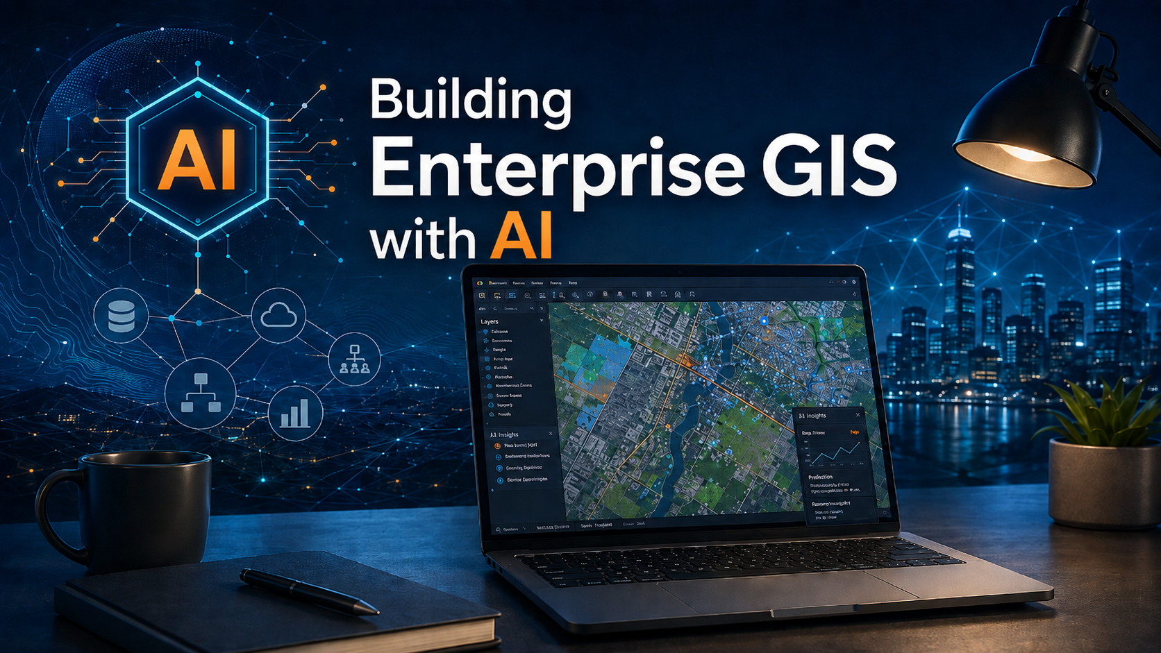
Building Enterprise GIS with AI is a one-day, hands-on workshop for GIS professionals who want to use AI as a practical development partner in open source GIS workflows.
Participants will learn how to use AI tools to help plan, build, review, and document a small enterprise GIS application using PostgreSQL/PostGIS, QGIS, VS Code, Docker, and related development tools. The workshop will focus on practical workflows such as requirements planning, database design, QGIS project configuration, sample data generation, and CSV-based data loading.
AI will be presented as a tool for accelerating development, not as a replacement for GIS knowledge, database design, testing, or professional review.
Upcoming Public Sessions
- Friday, November 20, 2026, from 10am to 4pm Eastern Time - Virtual (Google Meet). Register for this Session.
- Friday, January 15, 2027, from 10am to 4pm Eastern Time - Virtual (Google Meet). Register for this Session.
Prerequisites
Participants should be familiar with QGIS and PostgreSQL/PostGIS before taking this workshop.
Knowledge of Docker, VS Code, GitHub, and basic command-line workflows would be beneficial, but is not absolutely required.
- Basic QGIS experience
- Basic PostgreSQL/PostGIS familiarity
- Comfort following technical setup instructions
- Helpful but optional: Docker, VS Code, GitHub, and command-line experience
Included in the Workshop
This is a one-day instructor-led workshop. All workshop materials will be provided.
- Live instruction from LunaGeo
- Step-by-step workshop materials
- Prepared prompts and guided exercises
- Example project files
- Database and QGIS configuration exercises
- Sample data generation workflow
- CSV data-loading exercise
- Time for questions and troubleshooting
What You Need
Participants will need a computer capable of running the required desktop and development software.
- QGIS
- pgAdmin
- PostgreSQL
- PostGIS
- VS Code
- Docker
- Codex access
A LunaGeo team member can help configure your system prior to the workshop. Detailed setup instructions will be provided before the workshop.
Cost
Public sessions
$400 CAD per participant
Private group training
$3,500 CAD per group session
For up to 10 participants. Use the registration form below to request a dedicated session.
Course Structure
- Module 1: AI as a GIS Development Partner
What AI can help with, where GIS expertise is still required, and how to structure prompts for professional GIS work. - Module 2: Planning a Small Enterprise GIS Application
Define a focused environmental monitoring and sampling application with clear requirements, data entities, and workflows. - Module 3: Designing the PostGIS Database
Use AI assistance to plan tables, relationships, lookup values, spatial columns, constraints, indexes, roles, and audit fields. - Module 4: Building and Reviewing the Database
Use VS Code and Codex to generate, review, test, and refine the database scripts. - Module 5: Configuring the QGIS Project
Connect QGIS to PostGIS and configure layers, forms, relationships, styles, labels, filters, and validation rules. - Module 6: Generating Sample Data
Create realistic sample project, location, and results data for testing and demonstration. - Module 7: Loading CSV Results
Build a simple CSV-based data-loading workflow for field, laboratory, or data-logger results. - Module 8: Testing, Documentation, and Next Steps
Review the completed workflow, document the application, and discuss how the approach can be extended.