
Tutorials
Learn the basics of QGIS, PostGIS, and Geoserver with out growing list of free tutorials
Filters
-
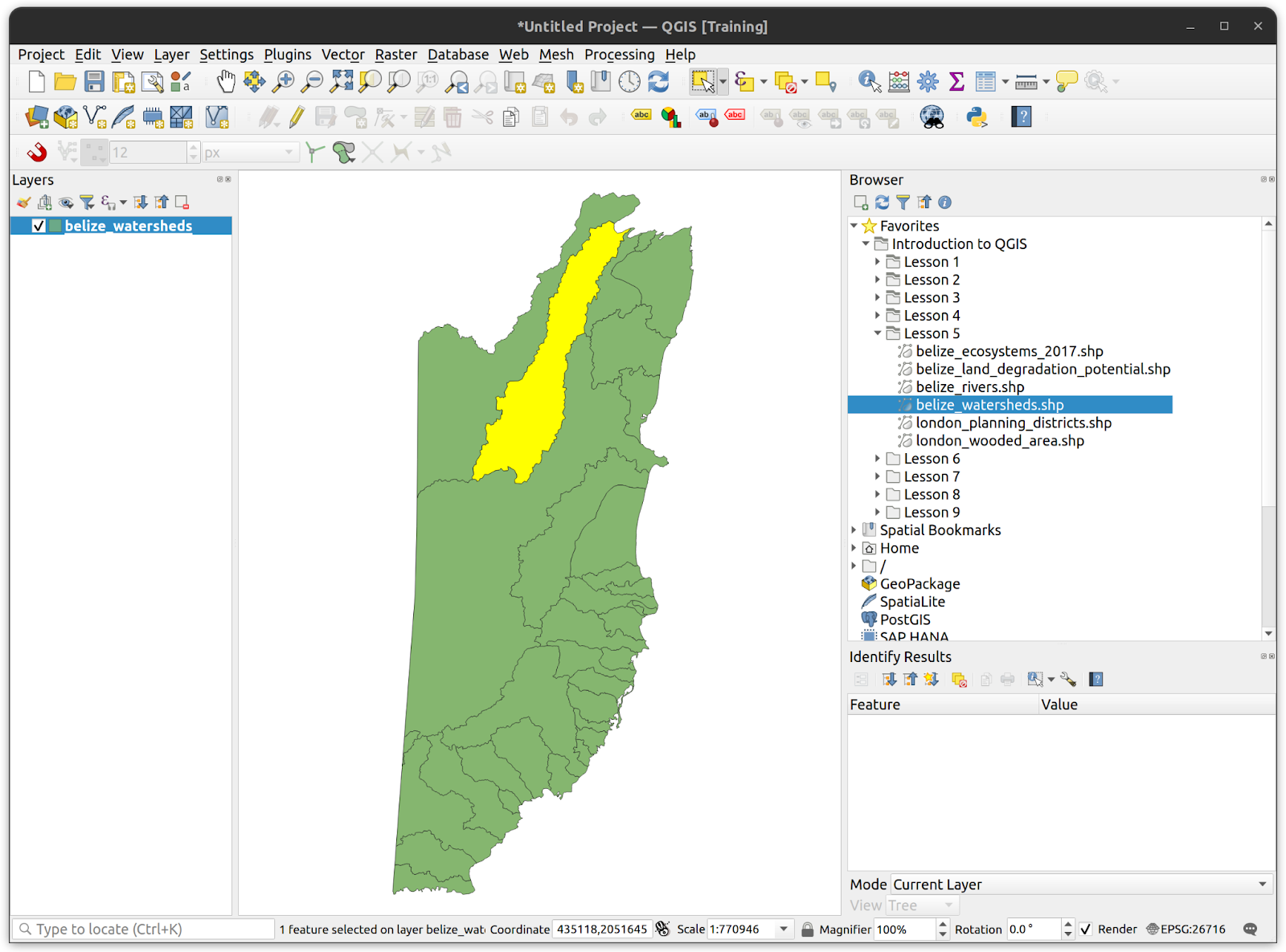
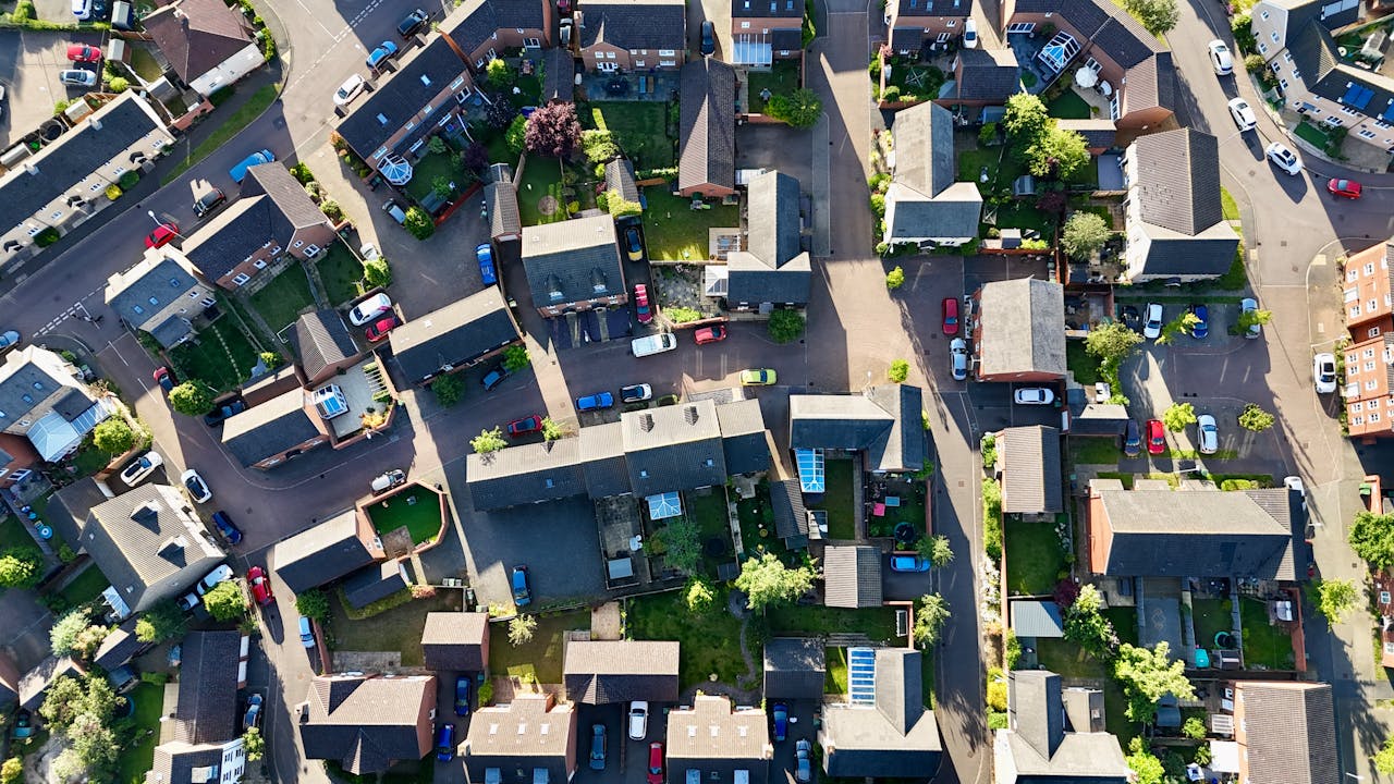
An Overview of the QGIS Interface
QGIS Basics, QGIS
This tutorial will provide an introduction to the QGIS interface and how to interact with it. You will load some demo data into the QGIS interface and
-
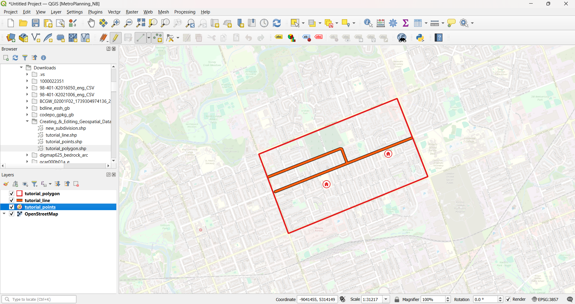
Creating and Editing Geospatial Data in QGIS
QGIS, QGIS Basics
Summary This tutorial provides an introduction to creating geospatial data in QGIS from scratch, including how to draw (i.e. digitize) features, edit the geometry of new and existing geospatial features and create/calculate new feature attribute data. What You’ll Learn in this Tutorial Prerequisites 1. Create a New QGIS Project 2. Create a New Shapefile In…
-
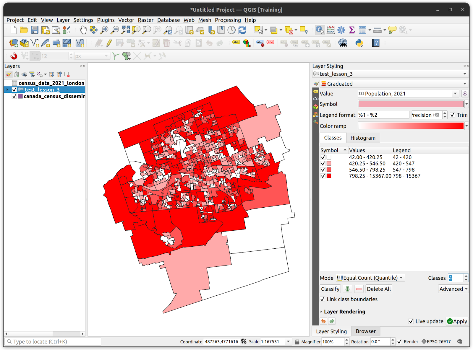
Table Joins and Classification in QGIS
QGIS, QGIS Basics
Summary This tutorial focuses on working with attribute data in QGIS, including adding non-spatial tabular data to the attribute tables of geospatial layers to provide additional context and insight by using a data-driven layer styling pattern. What You’ll Learn in this Tutorial Prerequisites 1. Create a New QGIS Project 2. Joining a Layer with a…
-
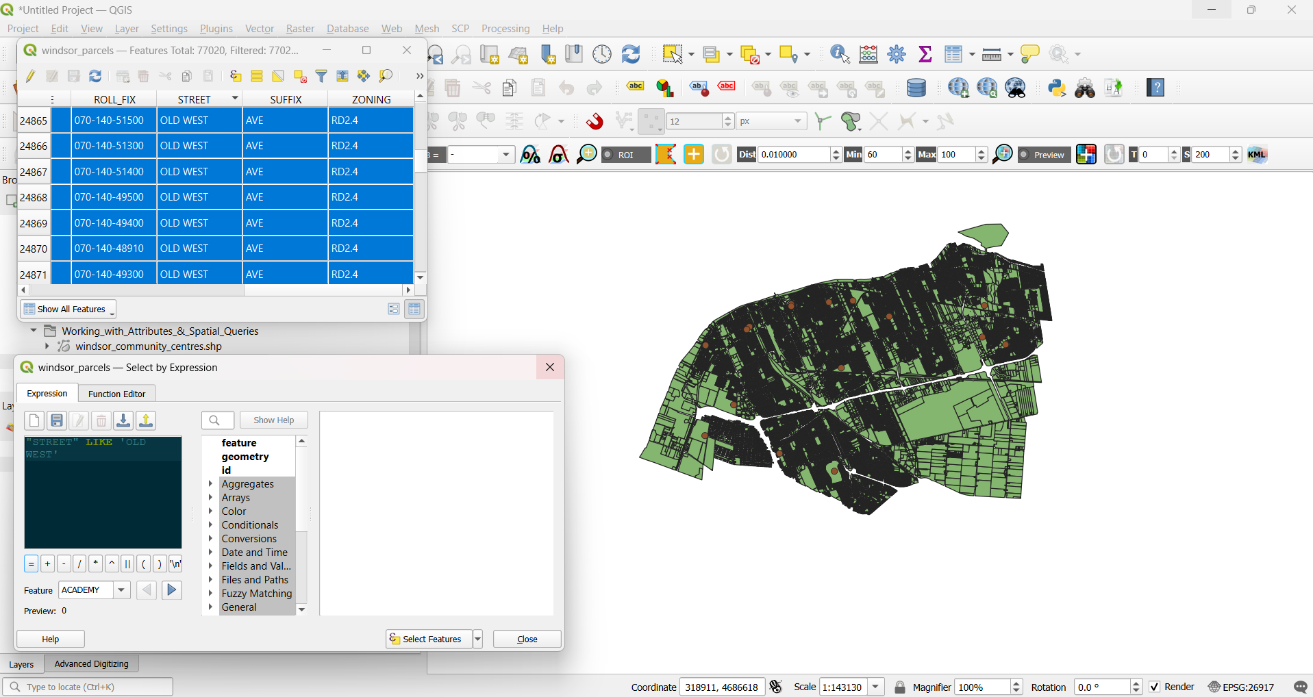
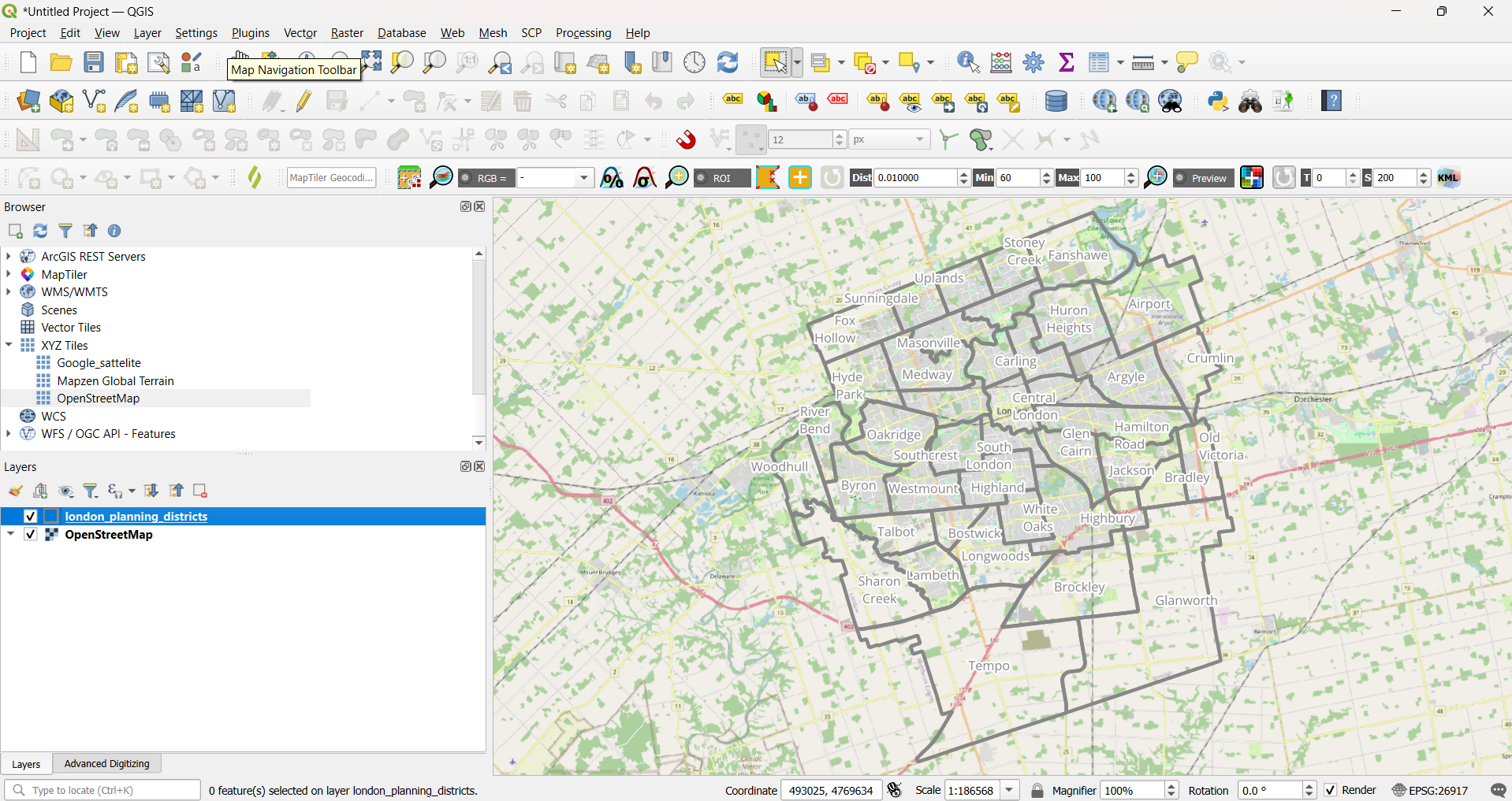
Working with Attributes and Spatial Queries in QGIS
QGIS, QGIS Basics
Summary In this tutorial you will be further introduced to working with attribute tables. Querying data can allow to to work with only features that match particular conditions instead of entire layers. In QGIS, you can query attribute data using a text based search dialog with built in operators and functions, including text matching, mathematical…
-
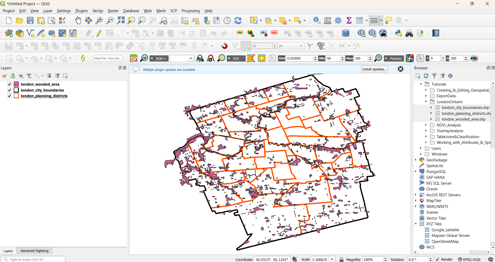
Overlay Analysis in QGIS
QGIS, QGIS Basics
Summary This tutorial introduces overlay analysis in QGIS, a process that examines the spatial and geometric relationships between two or more geospatial features to create new or modified datasets for analytical purposes. A range of tools and algorithms available in QGIS for performing overlay analysis will be explored. What You’ll Learn in this Tutorial Prerequisites…
-
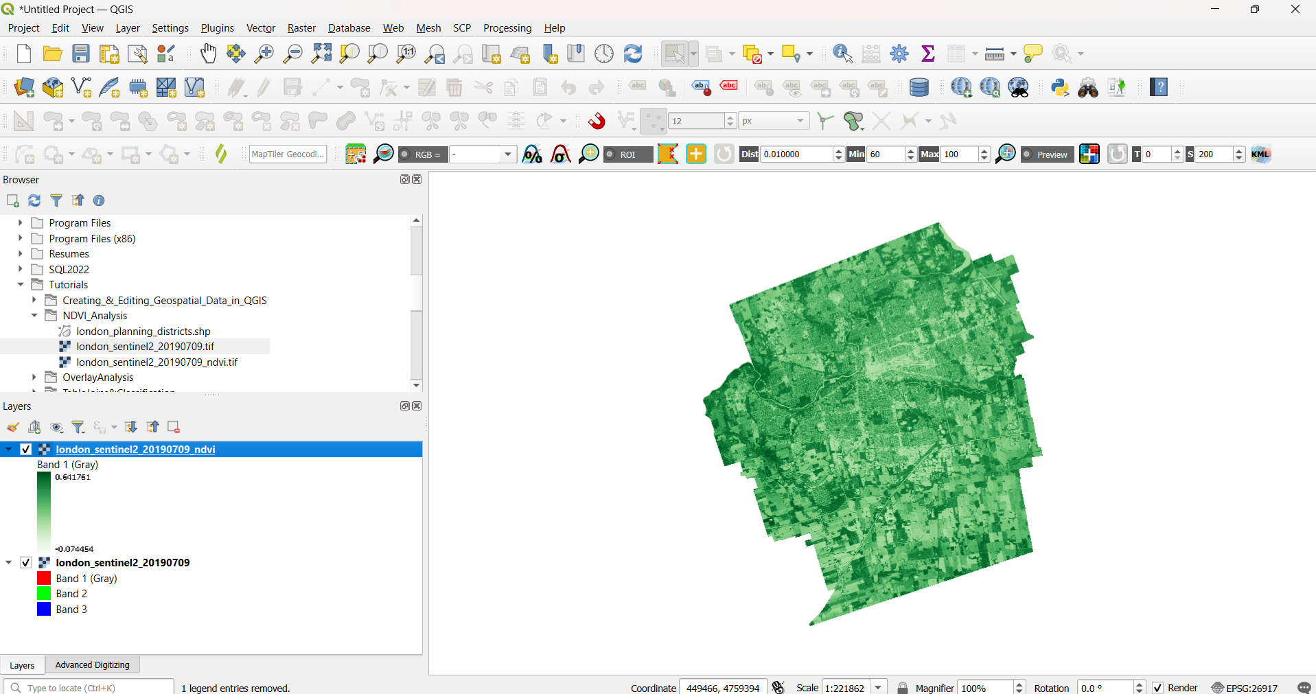
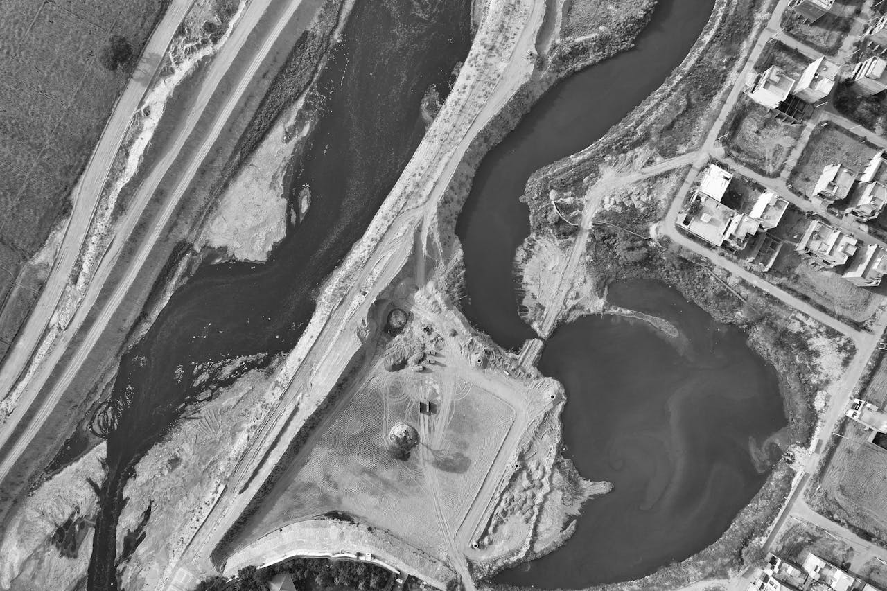
NDVI Analysis in QGIS
Remote Sensing, QGIS, QGIS Basics
Summary This tutorial will focus on calculating the Normalized Difference Vegetation Index (NDVI) using multispectral (multiband) rasters, which consist of multiple images captured at different wavelengths. You will learn how to blend the component bands and perform mathematical operations between them to create band ratio images, ultimately using NDVI to assess vegetation density and health…
-
Export Data from QGIS
QGIS, QGIS Basics
Summary This tutorial will explore various methods for exporting geospatial data in QGIS, whether for creating or saving new shapefiles, converting file formats for compatibility with other software, or sharing data with others. Additionally, you will learn how to save your map canvas as an image or figure, enabling you to quickly share or include…
-

Importing and Converting GPS Data Using QGIS
QGIS, QGIS Basics
Summary GPS data is commonly downloaded in tabular format. In this tutorial, you will learn how to display and save tabular point data as a shapefile in QGIS. What You’ll Learn in this Tutorial Prerequisites 1. Create a New QGIS Project 2. Convert the CSV file into a Spatial Layer
-
Display and Interact with Geospatial Data using QGIS
QGIS Basics, QGIS
his lesson provides a mini example of a geospatial project workflow in QGIS including loading geospatial data into a QGIS project, modifying the appearance of map layers appearance and creating and saving a map document output.
-
Publish Rasters with Geoserver
Geoserver
Summary This tutorial explains how to publish a GeoTIFF in Geoserver, from upload to preview. See our other tutorials to learn how to optimize and style rasters for Geoserver. Introduction Before publishing rasters with Geoserver, the optimized data must be transferred to the server on which Geoserver resides. The transfer method will vary depending on…
-
Style Rasters in Geoserver
QGIS, Geoserver
Summary This tutorial explains how to style a raster layer in Geoserver, from exporting an SLD from QGIS to previewing the styled raster in Geoserver. Introduction Most single and multi-band rasters, such RGB imagery, will visualize as they should in Geoserver without further styling required. However, for rasters that are styled with palette/unique values or…
-
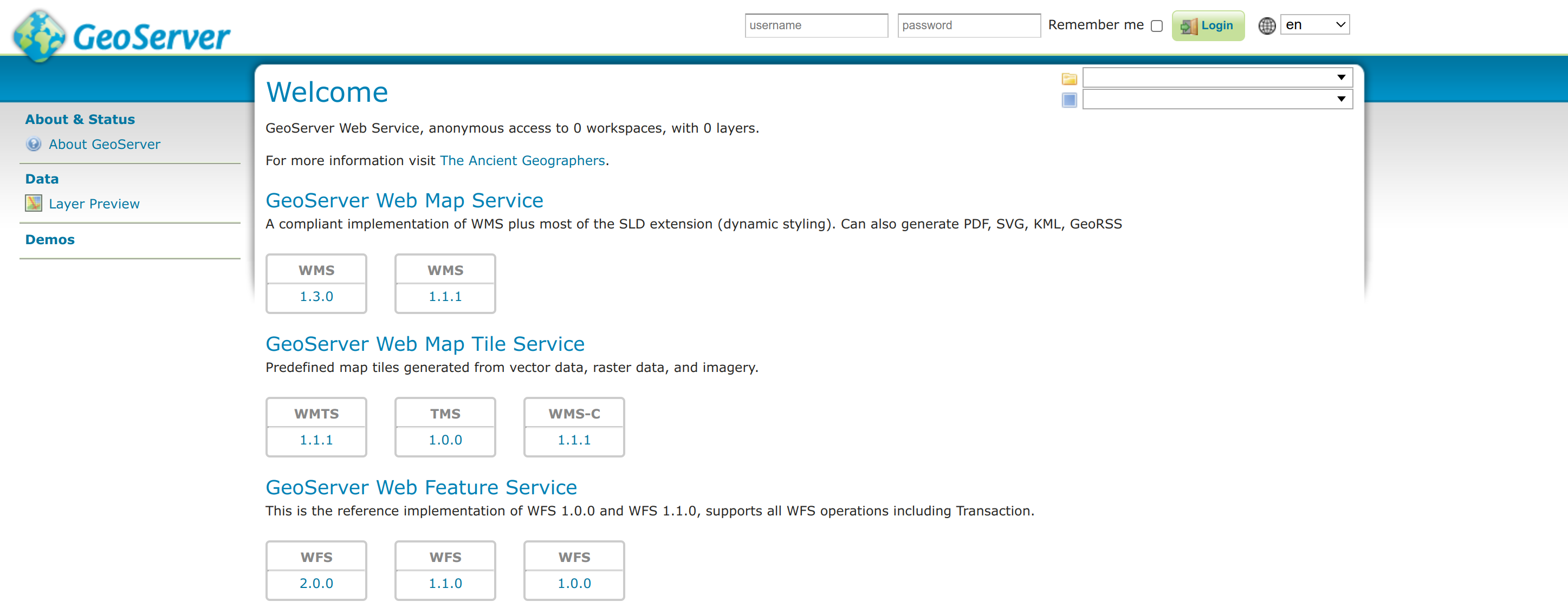
Connect to Geoserver WMS and WFS in QGIS
QGIS, Geoserver
Summary This tutorial explains how to connect to Geoserver WMS and WFS service endpoints from QGIS, notably where to find the service URL and how to set up the connections in QGIS. 1. Geoserver Service Endpoints By default, Geoserver supports a number of different service endpoints and versions of them. The list of available services…
How can we help?
Contact us today to schedule a free consultation with a member of our consulting team.