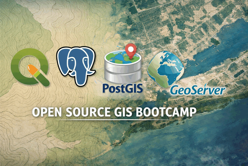
Open Source GIS Bootcamp
A hands-on workshop for professionals and organizations ready to build an enterprise-grade open source geospatial platform.
View Workshop
We are a team of Open Source GIS experts that provide consulting, support, software development, and cloud-based hosting services to a worldwide clientele.
Register now for upcoming sessions
A hands-on workshop for professionals and organizations ready to build an enterprise-grade open source geospatial platform.
View Workshop
Learn practical database patterns for shared editing, spatial analysis, and operating an open source enterprise GIS database.
View Workshop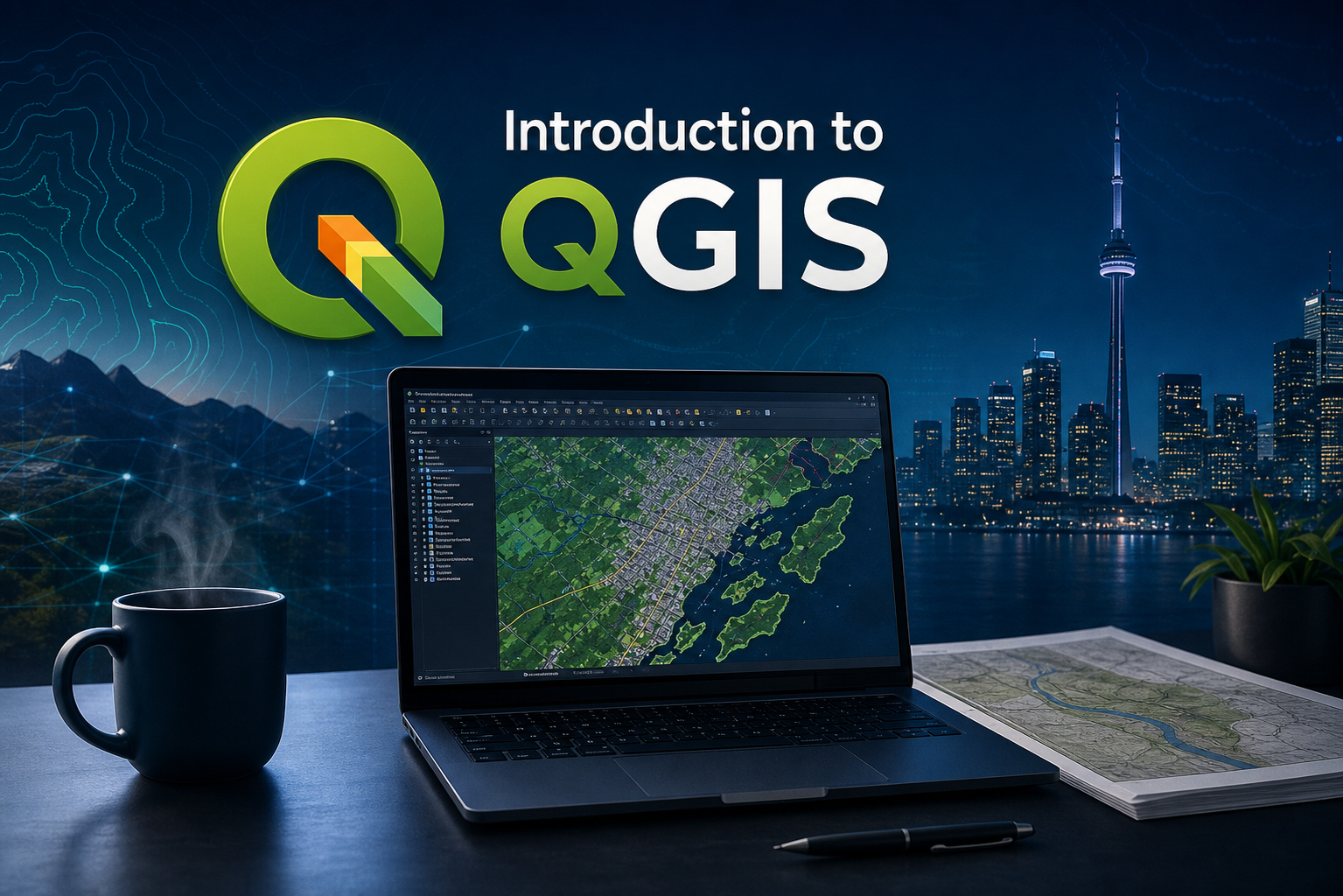
A practical, beginner-friendly workshop for learning QGIS fundamentals, common tools, analysis, and map layout workflows.
View WorkshopLunaMap is an web mapping platform for publishing, managing, and sharing spatial data online. Use it to create interactive maps, organize layers, and give your team or clients simple access to the data stored in your PostGIS database.
Learn More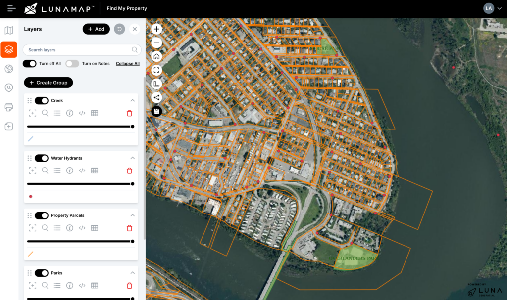
LunaGeo is a Canadian GIS company focused on helping organizations get more value from their spatial data. We design, support, and host open source GIS infrastructure for teams that need dependable mapping and data management without the complexity or cost of traditional enterprise platforms.
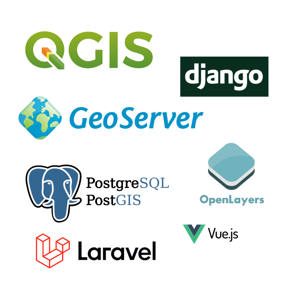
Our work combines GIS consulting, training, database design, managed hosting, and web mapping. We use proven open source tools such as QGIS, PostgreSQL/PostGIS, GeoServer, GDAL, and LunaMap to help clients build flexible GIS environments that are easier to use, maintain, and scale.
How we help
We help clients leverage open source GIS with customized solutions for QGIS, PostGIS, Geoserver, and more.
Learn MoreWe build custom webGIS and data-driven applications using modern web frameworks.
Learn MoreLunaCORE is a fully managed GIS server-as-a-service that runs PostgreSQL, PostGIS, Geoserver, and more.
Learn MoreLunaMap is cloud-native enterprise webGIS developed by our team to simplify sharing GIS data on the web.
Learn MoreThrough LunaCORE, we offer a number of hosting options for Geoserver.
Learn MoreThrough LunaCORE, we offer a hosted instance of PostGIS, the spatial extension for PostgreSQL.
Learn MoreWe host and support MerginMaps Community Edition for teams that need practical field data collection connected to QGIS workflows.
Learn MoreLunaGeo hosts virtual and live training and workshops throughout the year on various open source GIS software.
Learn MoreCheck out our free tutorials for QGIS, PostGIS, and Geoserver.
Learn MoreFeatured replays

Learn how QGIS and PostGIS can support shared editing, centralized spatial data, and practical enterprise GIS workflows.
Watch Webinar
See how LunaMap supports web GIS workflows for sharing maps, layers, and spatial data with internal or public audiences.
Watch Webinar
Explore practical examples showing how local governments can use QGIS, PostGIS, GeoServer, and open source GIS.
Watch Webinar
LunaGeo offers prepaid and dedicated support packages for a number of open source GIS software, including PostgreSQL, PostGIS, Geoserver, QGIS, PGAdmin4, and more.
Support ServicesTell us what you are trying to build, fix, migrate, host, or teach. We will help you sort out the next practical step.
Contact Us