
Tutorials
Learn the basics of QGIS, PostGIS, and Geoserver with our growing list of free tutorials
Filters
-

Export to PDF with LunaMap
LunaMap
This tutorial explains how to export to PDF with LunaMap. The Print tool in LunaMap allows users to create and download custom PDF maps. By selecting the desired map, setting a title, description, print scale, and page layout, users can generate a professional layout. Export to PDF
-
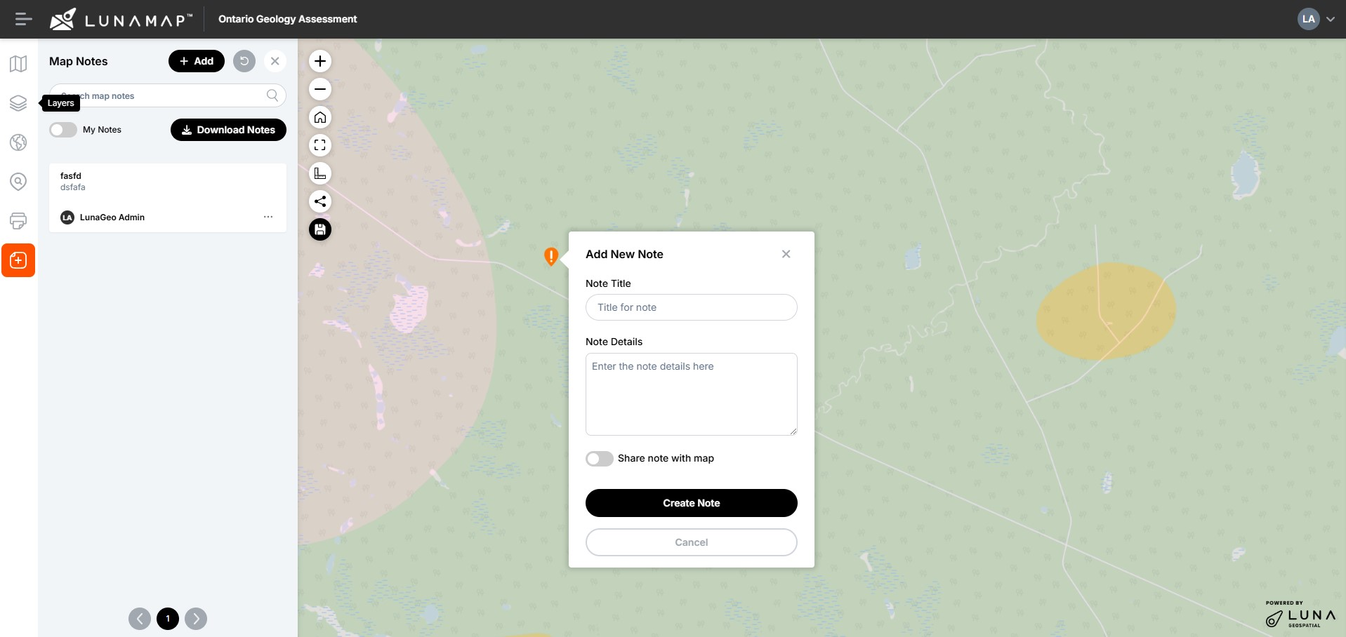
Map Notes in LunaMap
LunaMap
Map Notes in LunaMap allow users to mark specific points on the map and add descriptive information about each point. This feature is useful for annotating locations, providing context, and organizing spatial data with additional details, helping to enhance map interactivity and information sharing. Map Notes are related to the map itself, so a note…
-
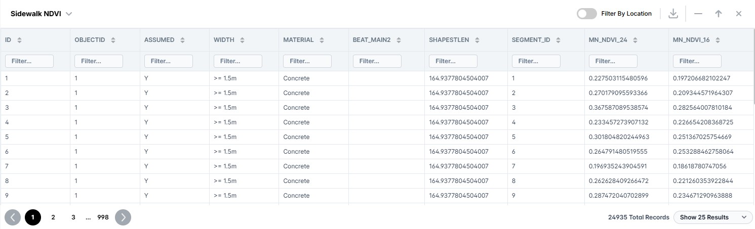
Attributes Table in LunaMap
LunaMap
The Attributes Table in LunaMap contains the following features and capabilities: Opening the Attribute Table Filtering Attributes
-
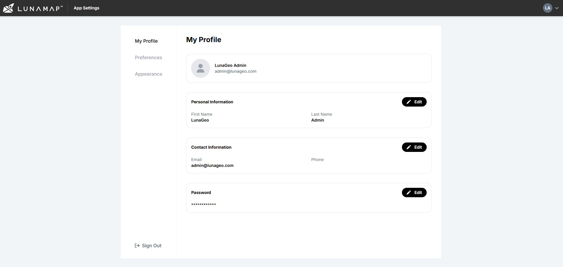
LunaMap User and Administrator Settings
LunaMap
The LunaMap User and Administrator Settings contains three sections, namely (1) My Profile to set user-specific settings, (2) Preferences to set a user-specific workspace and default map, and some application-wide administrator settings and user-specific settings that personalized the experience. The settings include options to update user information, set a default workspace and map, and brand the…
-
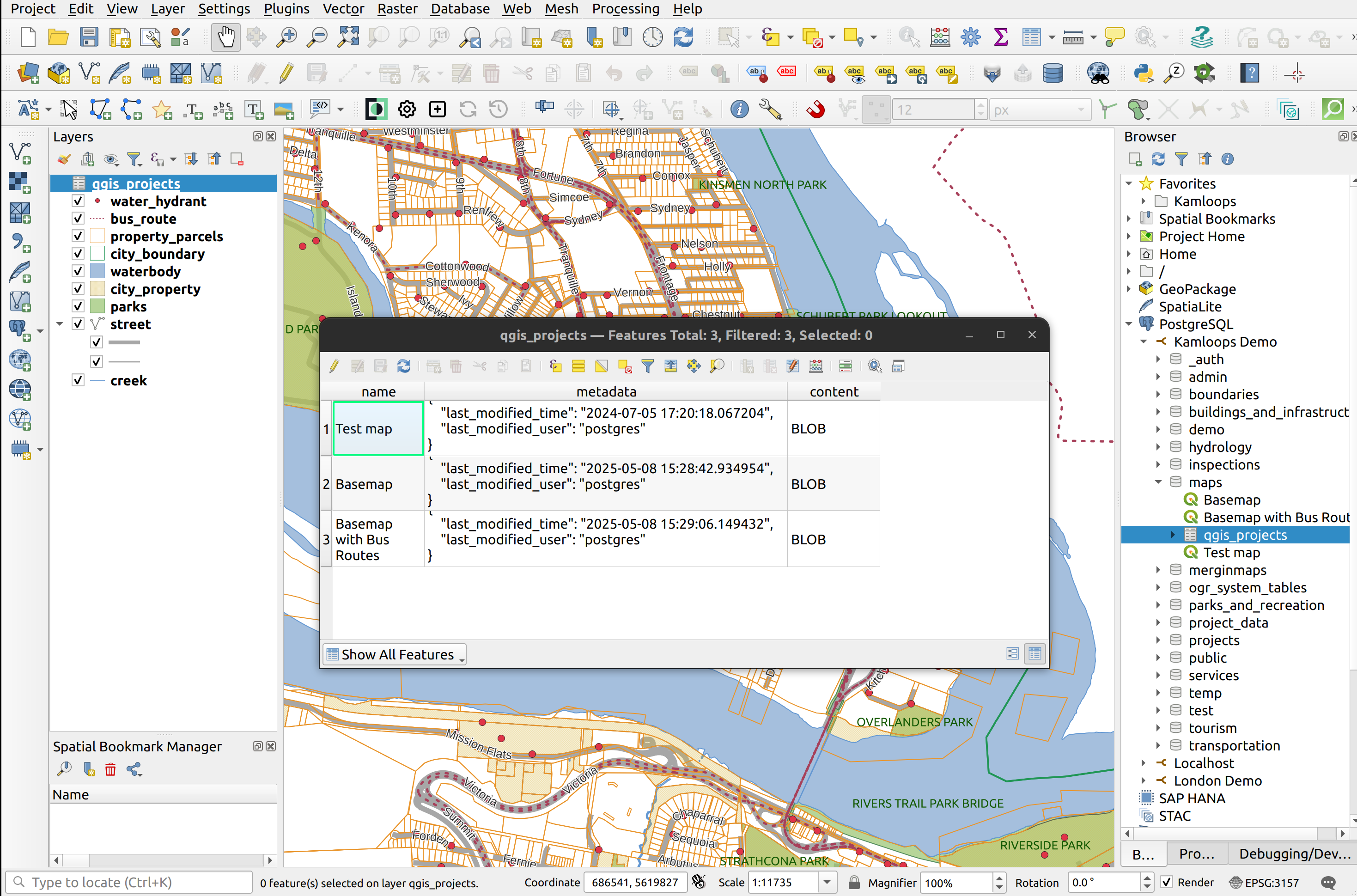
Manage QGIS Projects in PostGIS
QGIS, PostGIS
This tutorial demonstrates how to manage QGIS projects in PostGIS. QGIS projects contain numerous elements, including layers and styles, print layout, custom tools, definitions for relations, default values, project variables, etc. The list goes on and on. All such information is saved to the QGS file, which is nothing more than an XML file. QGIS…
-
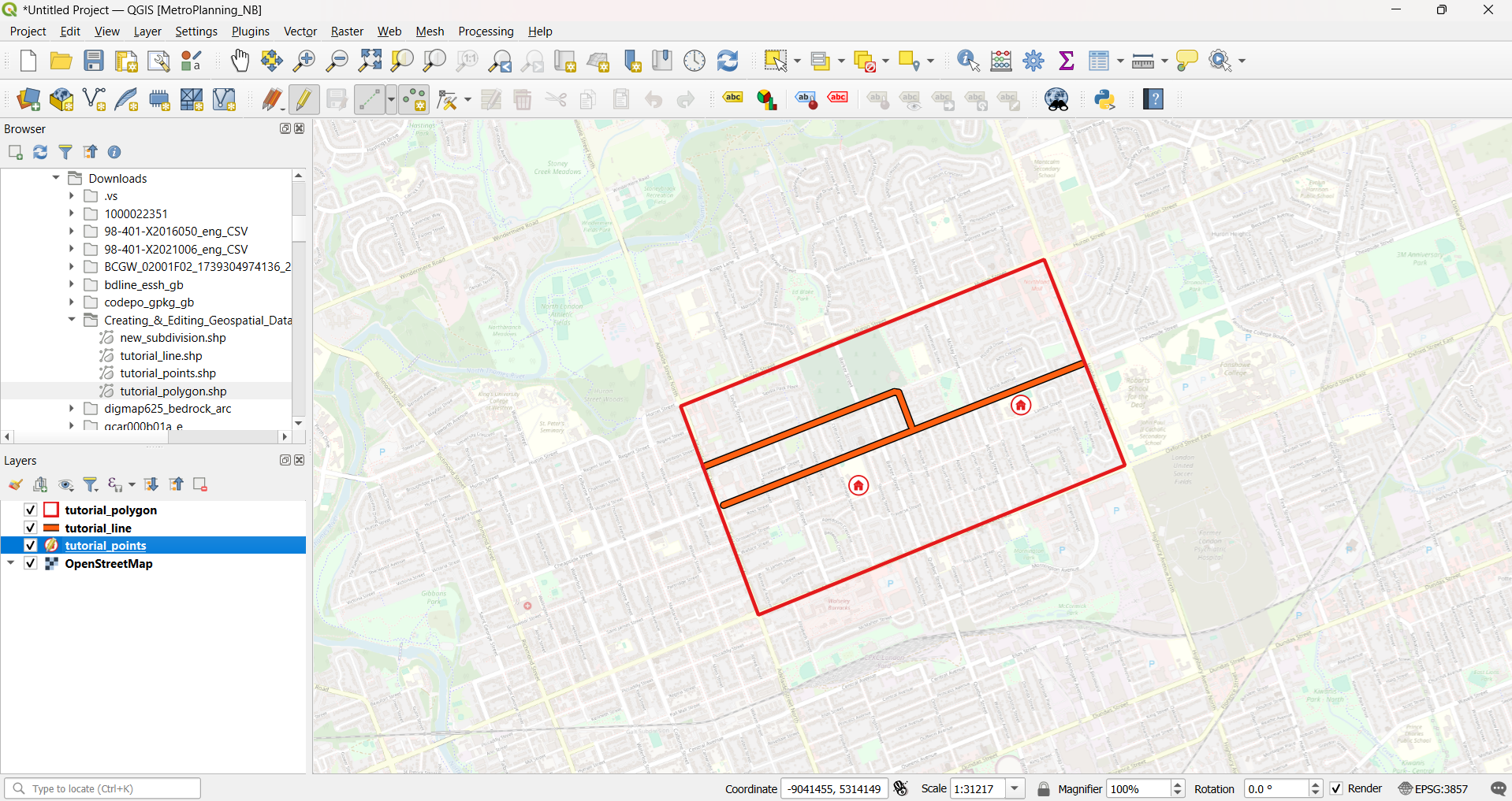
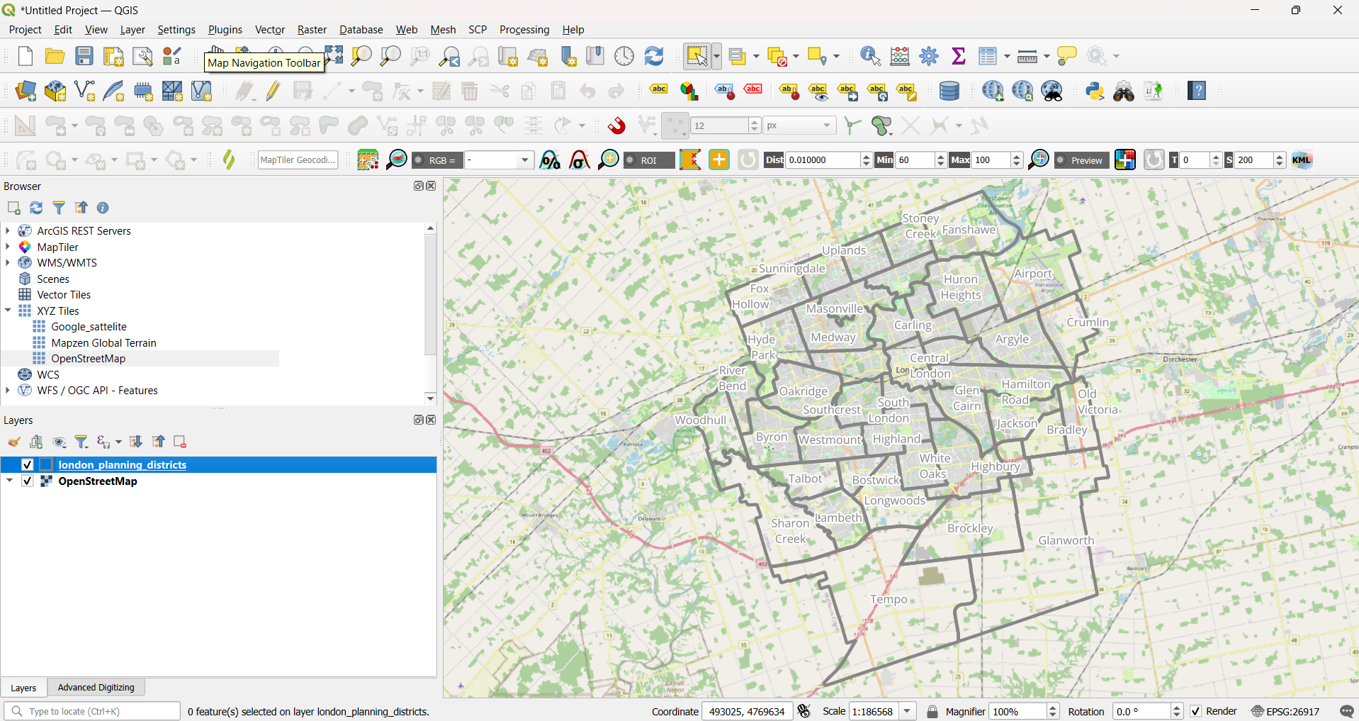
Create and Edit Geospatial Data in QGIS
QGIS, QGIS Basics
This tutorial demonstrates how to create and edit geospatial data in QGIS. Specifically, you will learn how to create geospatial data in QGIS from scratch, draw (i.e. digitize) features, edit the geometry of new and existing geospatial features, and create/calculate new feature attribute data. What You’ll Learn in this Tutorial Prerequisites 1. Create a New…
-
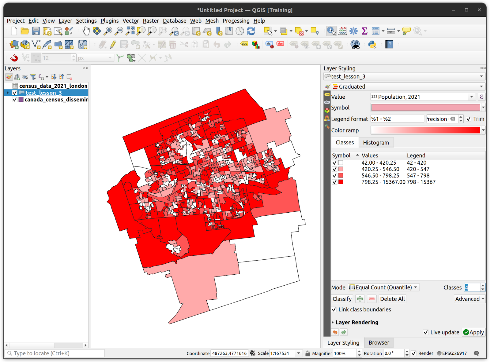
Table Joins in QGIS
QGIS Basics, QGIS
This tutorial focuses table joins in QGIS, the process of adding non-spatial tabular data to the attribute tables of geospatial layers. In addition, this tutorial explains how to export joined layers to geopackage, style a layer based on attribute classification, and export layer style files in QML format. What You’ll Learn in this Tutorial Prerequisites…
-
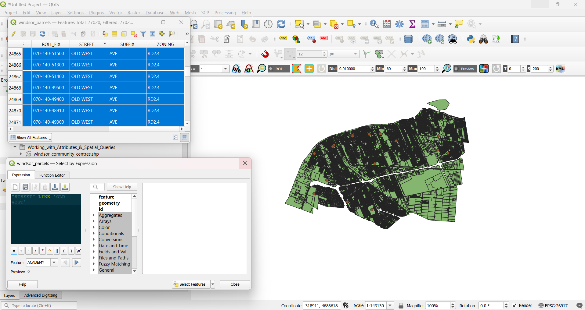
Explore Attributes Data in QGIS
QGIS Basics, QGIS
Explore Attributes Data in QGIS through hands-on querying, analysis, and spatial selection using real municipal parcel data from Windsor, Canada. This tutorial walks through practical workflows for selecting features based on attribute values, calculated geometry, and spatial relationships using tools like Select by Expression, the Field Calculator, and Select by Location. You’ll calculate new attributes,…
-
Overlay Analysis in QGIS
QGIS Basics, QGIS
This tutorial introduces overlay analysis in QGIS, a process that examines the spatial and geometric relationships between two or more geospatial features to create new or modified datasets for analytical purposes. A range of tools and algorithms available in QGIS for performing overlay analysis will be explored. What You’ll Learn in this Tutorial Prerequisites 1.…
-

Terrain Analysis in QGIS
QGIS Basics, QGIS
This tutorial will introduce you to a suite of tools and techniques for terrain analysis in QGIS. You will also be introduced to one of the most common types of raster, known as a digital elevation model (DEM), that represents surface elevation. DEM’s are the input used to derive a number of other rasters representing…
-
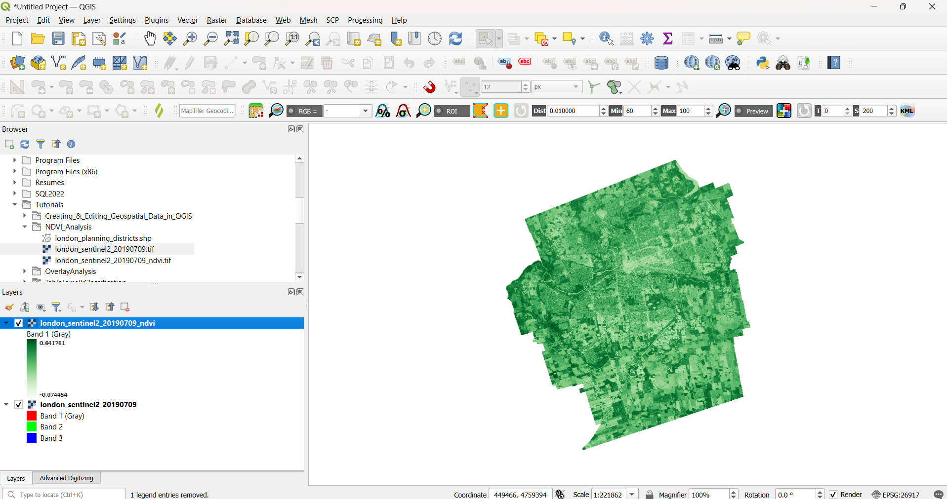
NDVI Analysis in QGIS
QGIS Basics, Remote Sensing, QGIS
This tutorial demonstrates how to conduct NDVI analysis in QGIS. Normalized Difference Vegetation Index (NDVI) is calculated from multispectral (multiband) rasters, which consist of multiple images captured at different wavelengths. You will learn how to combine spectral bands and perform raster calculations to generate NDVI rasters that are widely used to assess vegetation health, density,…
-
Export Data from QGIS
QGIS, QGIS Basics
This tutorial demonstrates how to Export Data from QGIS, including saving new shapefiles, converting data formats, and sharing datasets with others. You will also learn how to export your map canvas as an image or figure for use in reports, presentations, or other documents. What You’ll Learn in this Tutorial Prerequisites 1. Preliminary Steps 1.…
How can we help?
Contact us today to schedule a free consultation with a member of our consulting team.