
Private Group Training
Get your entire team trained on open source GIS
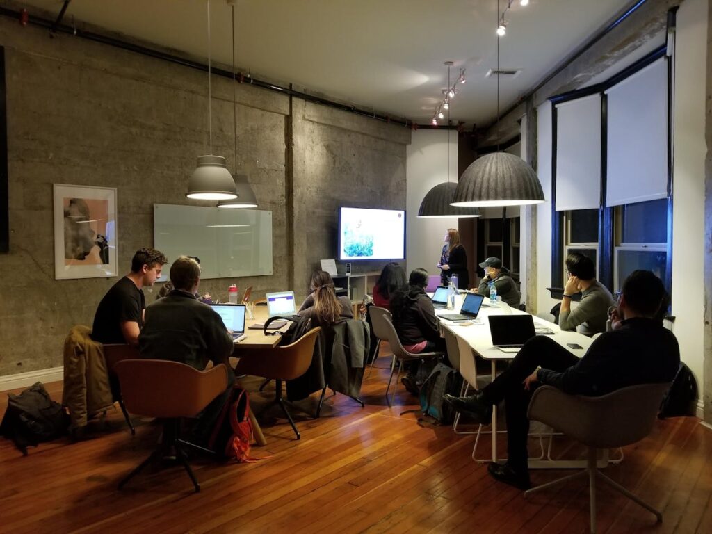
Private Group Training
Our private group training for QGIS, PostGIS, and GeoServer provides an in-person or virtual learning experience for teams looking to enhance their open source GIS skills. Our courses cover introductory to advanced topics that can be customized to specific workflows and datasets, ensuring practical, real-world applications for your team.
All private group training sessions include:
- An on-site or virtual learning experience.
- Hands-on guidance from a highly qualified instructor.
- Interactive exercises.
- Up to 20 participants per session.
- All course materials including practice data.
Available Courses
All prices are in Canadian Dollars (CAD). Prices do not include travel expenses, if applicable. Contact LunaGeo for details.
Introduction to QGIS
(In Person)
$ 4,000
Full Day Training
In-Person, on-site instruction
Up to 20 participants
QGIS is a powerful open-source GIS application for Windows, Linux, and Mac. This beginner-friendly course covers key GIS concepts, the interface, essential tools, basic analysis, and map layout creation. Participants will gain hands-on experience working with QGIS as they complete instructor-led 9 tutorials.
Introduction to QGIS and PostGIS in an Enterprise Environments
(In Person)
$ 4,000
Full Day Training
In-Person, on-site instruction
Up to 20 participants
This course introduces participants to the basic functionality of a PostgreSQL/PostGIS database in QGIS. Topics covered include configuring connections via QGIS and PGAdmin4, using the Database Manager, uploading data, symbology, saving projects, attribute forms, permissions, and basic (spatial) SQL. In the end, participants will have a good understanding of how PostGIS integrates into QGIS and be able to build a basic enterprise database.
Introduction to Geoserver
(In Person)
$ 4,000
Full Day Training
In-Person, on-site instruction
Up to 20 participants
This course introduces Geoserver, an open-source GIS server for sharing geospatial data online. It covers the interface, publishing and styling data, connecting from QGIS, building basemaps, and managing security. Participants will learn to configure Geoserver for their needs. In the end, participants will be able to configure their own Geoserver and interact with various web services.
Introduction to QGIS
(Virtual)
$ 3,000
Full Day Training
Virtual Instruction
Up to 10 participants
QGIS is a powerful open-source GIS application for Windows, Linux, and Mac. This beginner-friendly course covers key GIS concepts, the interface, essential tools, basic analysis, and map layout creation. Participants will gain hands-on experience working with QGIS as they complete instructor-led 9 tutorials.
Introduction to QGIS and PostGIS in an Enterprise Environments
(Virtual)
$ 3,000
Full Day Training
Virtual Instruction
Up to 10 participants
This course introduces participants to the basic functionality of a PostgreSQL/PostGIS database in QGIS. Topics covered include configuring connections via QGIS and PGAdmin4, using the Database Manager, uploading data, symbology, saving projects, attribute forms, permissions, and basic (spatial) SQL. In the end, participants will have a good understanding of how PostGIS integrates into QGIS and be able to build a basic enterprise database.
Introduction to Geoserver
(Virtual)
$ 3,000
Full Day Training
Virtual Instruction
Up to 10 participants
This course introduces Geoserver, an open-source GIS server for sharing geospatial data online. It covers the interface, publishing and styling data, connecting from QGIS, building basemaps, and managing security. Participants will learn to configure Geoserver for their needs. In the end, participants will be able to configure their own Geoserver and interact with various web services.
Get Started with Private Group Training
Complete this form and a representative will be in touch to set up your selected private group training.